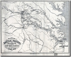
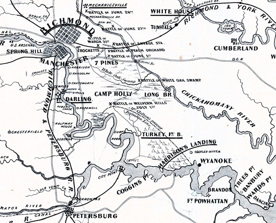
This map puts a bit of perspective on the battles that were fought around Richmond in 1862 and the location of McClellan’s forces in July.
________
 From “Map of the battle ground near Richmond, showing plainly, every point of interest of the late & present position of the Union army.”
-
L. Prang & Co.
-
Boston 1862
-
Scale ca. 1:250,000.
-
LC Civil War Maps (2nd ed.), 633
-
Indicates location and dates of battles, “McClellan’s present defensive line” at Harrison’s Landing, principal roads, railroads, towns, and drainage.
_________
Digitally corrected for fading.


